French Fort and Lung Ho Wall Relics - Historical Attraction in Ha Giang, Vietnam
.jpg-image-ajkmvmqm.jpg)
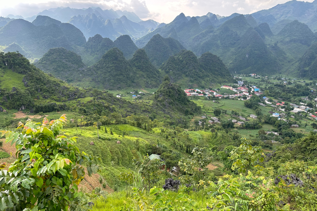
The French Fort and Lung Ho Wall relics are located in Lang Qua Village, Lung Ho Commune, Yen Minh District, Ha Giang Province. The fort and the wall are two separate areas, approximately 2 km apart, situated at an elevation of 742 meters above sea level. The French Fort and Lung Ho Wall relics are located 106 km north of Ha Giang City.
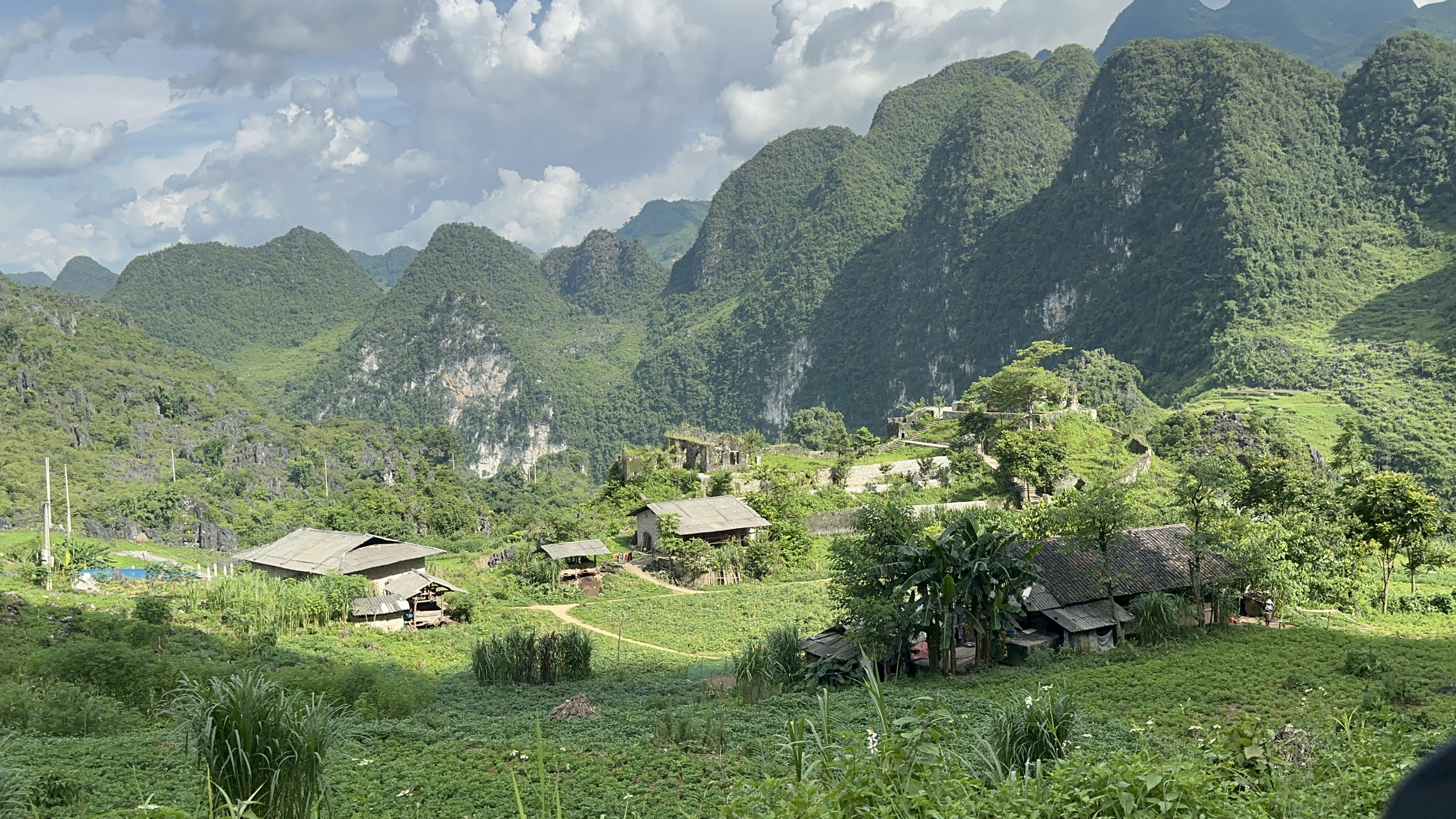
Lung Ho Wall Relic
According to French documents, in 1907, the Duong Thuong area belonged to Dong Minh Village, Yen Minh Commune, Ha Giang Province. During an inspection tour of Dai Mien, Tieu Mien, Yen Minh, Yen Dinh, Du Gia, and Duong Thuong by Lieutenant Colonel Boifacy, commander of the 3rd Military Region, a report numbered 1165 in September 1913 stated that this area "needed to be monitored, and therefore, a Duong Thuong fort must be established..." Following this inspection, plans for constructing new forts gradually began. The Duong Thuong fort, now known as Lung Ho Fort, was built and completed between 1935 and 1940. The construction process was extremely arduous, as the French forced local residents to work as laborers, carrying stones and fetching water for the construction. Those who refused were beaten or shot.
The Wall
The wall, located about 2 km from the fort, was strategically built along the natural terrain of the mountain slopes on both sides of the only road connecting Lung Ho and Yen Minh. Its purpose was to control the movement of goods, people, and horses in the area. In case of an alert, communication would be sent to the fort, approximately 2 km away. The primary material used to build the wall was mountain stone, sourced from the construction site and surrounding areas in various sizes. The mortar used was a mixture of sand and lime, without cement.
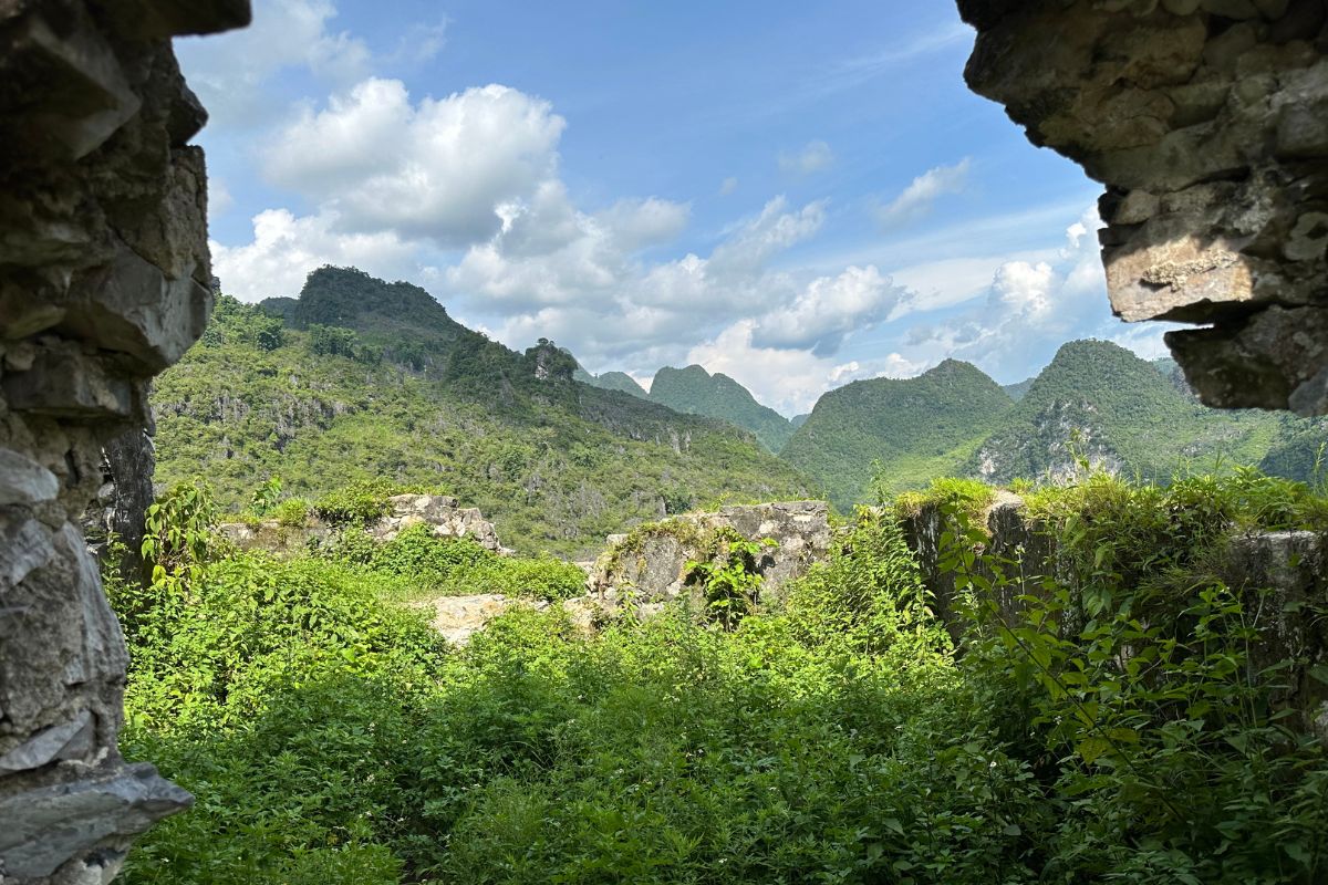
Lung Ho Fort
The fort was built on a high, relatively flat area facing east-west. The surrounding wall is nearly 200 meters long, with gun emplacements and observation holes. The main construction materials were mountain stones, sourced locally, and the mortar used was a mixture of sand and lime, without cement. The fort's design included a horizontal building block and a vertical row of houses on the west side; a vertical row of houses and a watchtower on the east side; and a large open space between the eastern and western sections. Many structures are now in ruins, with most of the roofs of the horizontal and vertical buildings dismantled.
French Fort of Lung Ho
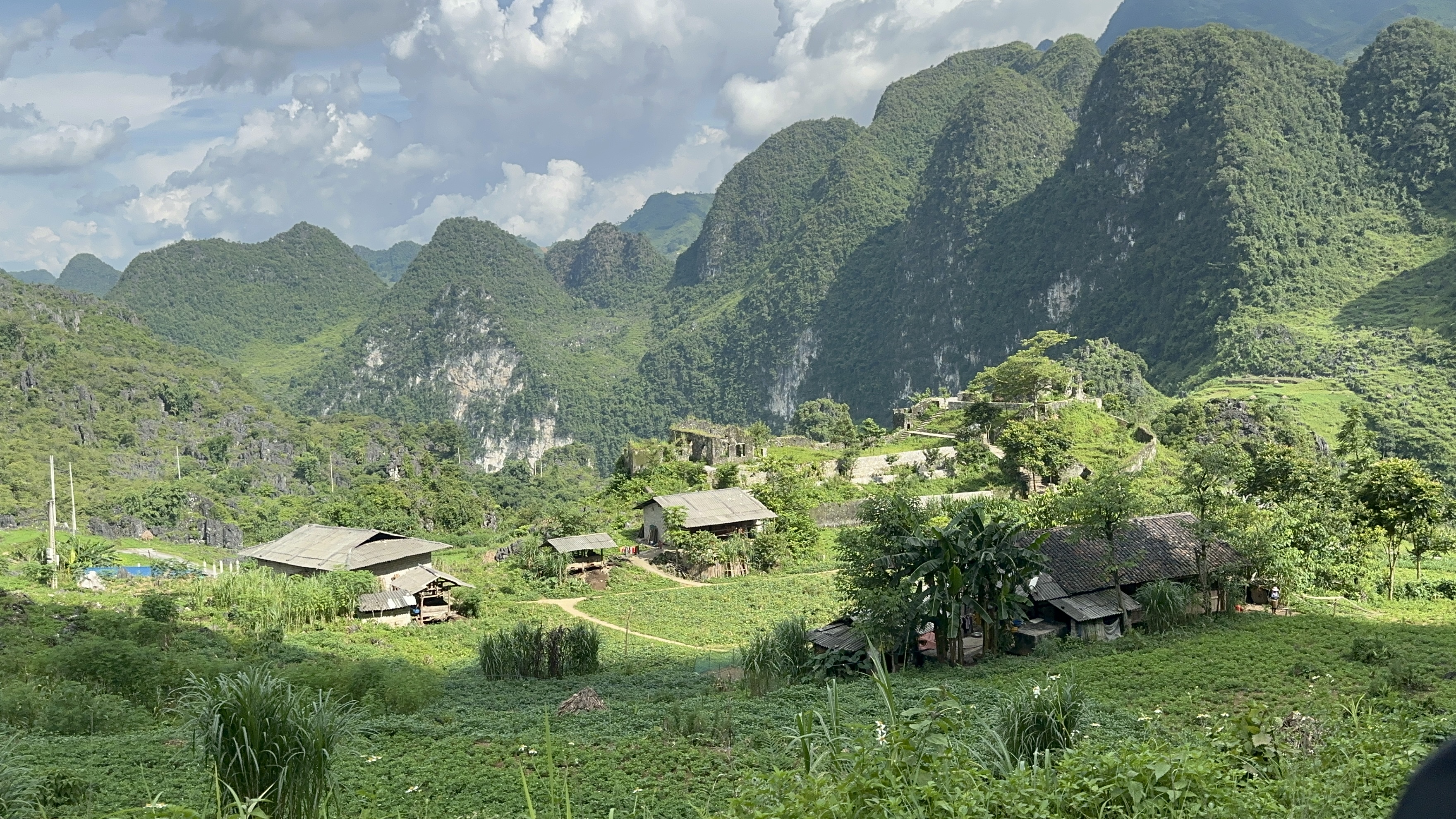
From a military perspective, the Lung Ho Fort and Wall were large-scale structures with a strategic position, guarding the road from Lung Ho to Duong Thuong and preventing revolutionary activities in the Duong Thuong area during that time. The site is evidence of the French colonial occupation and activities in the remote mountainous region of Ha Giang Province.
Under the oppressive rule of the French colonialists in Duong Thuong, the lives of the people were filled with hardship. Following the leadership resolutions of the Bac Ky Regional Committee and the Cao-Bac-Lang Inter-Provincial Committee, "At the end of 1944, Comrade Viet Hung was tasked with opening a communication route from Cao Bang - Bac Kan - Ha Giang to Yunnan (China) to welcome cadres and transport weapons from abroad. Comrade Viet Hung arrived in Lung Ho and Duong Thuong to establish a base, using Duong Thuong as a headquarters. Viet Minh cadres received widespread support from the local people wherever they went."
On March 9, 1945, the Japanese fascists overthrew the French. In Duong Thuong (Yen Minh), Bang Ta Dao Van At panicked and fled the fort. Seizing the opportunity, Viet Minh cadres in Duong Thuong held an urgent meeting, occupied the Duong Thuong fort, broke into the warehouse, and distributed corn and rice to the people. They also set up an outpost outside the base area, acting swiftly. On March 16, 1945, they successfully took control of the Duong Thuong fort, completely dominating the Duong Thuong area. From then on, Viet Minh cadres spread out to lead the revolutionary movement.
Conclusion
Along with the Sung Chu Da relic site, the Duong Thuong revolutionary base, and Mau Long Cave, which are recognized as national scenic landmarks, the Du Gia National Park, and festivals such as Gau Tao, Long Tong, Cau Trang, Cap Sac, and Thuong Tho, the Tày people's Fish Festival in Mau Due Commune stands out. Following the direction of the district and province in the coming time, the Lung Ho Fort and Wall relics will continue to be attractive destinations for visitors to Yen Minh.
We hope the information provided about the Lung Ho Fort and Wall helps you understand their importance and encourages you to explore this remarkable region. Our local travel experts are always ready to assist you in customizing a tour, ensuring you don't miss any exciting experiences. Feel free to leave a comment below or reach out to World Mate Travel using the contact information below:
- Email: sales@worldmatetravel.com
- WhatsApp: +84 988660505